Categories
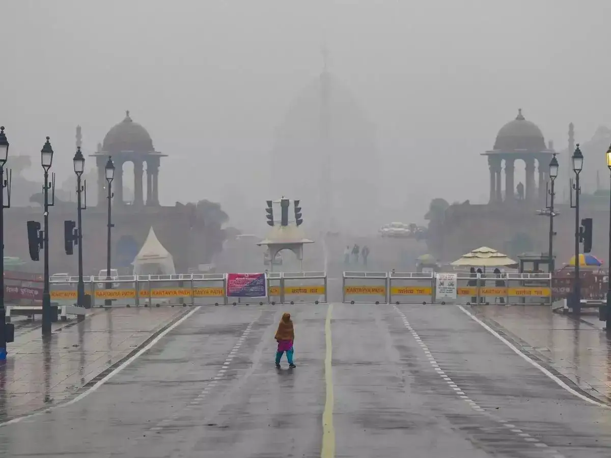
Delhi weather turns intense as IMD issues Yellow Alert for heavy rain today. 8 Indian states under Orange Alert with thunderstorms and strong winds. Check rainfall forecast and affected regions now
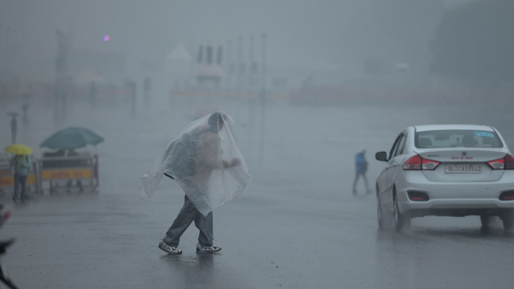
As monsoon 2025 continues to intensify across India, the India Meteorological Department (IMD) has issued a Yellow Alert for the national capital Delhi, warning residents to brace for heavy rainfall, thunderstorms, and gusty winds today. Meanwhile, eight other states are now under an Orange Alert as turbulent weather patterns sweep across north and central India.
This development comes amid rising concerns over monsoon variability, localized flooding, and public safety. Here’s a detailed, 1000+ word breakdown of what to expect, which regions are most affected, and the official advisories released by IMD.
Before diving into the forecast, it’s important to understand what these alerts signify:
- Yellow Alert: Be aware. This indicates that weather conditions could change quickly, and heavy rainfall or localized hazards may occur. Precaution is advised.
- Orange Alert: Be prepared. This level implies that severe weather is likely. It signals authorities and the public to prepare for significant disruptions, including flooding, traffic delays, and power cuts.
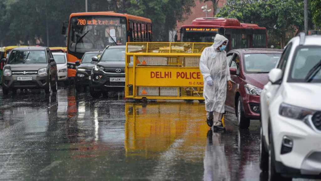
Delhi NCR is expected to experience moderate to heavy rain showers accompanied by thunderstorms and winds reaching speeds of 40–50 km/h.
This may lead to waterlogging in low-lying areas, traffic snarls, and power outages in some zones.
- Rainfall Intensity: 30-70 mm expected in 24 hours
- Wind Gusts: 40–50 km/h, especially during thunderstorm activity
- Temperature Range: Minimum 27°C, Maximum 33°C
- Humidity: Expected to cross 85%
- Timing: Peak rainfall between 2 PM and 8 PM
The IMD has advised residents to avoid waterlogged routes, stay indoors during lightning activity, and refrain from using mobile devices in open areas during thunderstorms.
Along with Delhi’s Yellow Alert, the IMD has issued Orange Alerts in 8 states, cautioning residents and local governments about the potential for extremely heavy rainfall, flood-like conditions, and disruption in daily life.
Heavy to very heavy rains in districts like Nainital, Pithoragarh, Dehradun, and Chamoli
Landslide risk in hilly terrain
River levels may rise rapidly in the Ganga and its tributaries
Thunderstorms with isolated very heavy rain in Shimla, Kullu, Mandi, and Chamba
Possibility of landslides and rockfall
Tourists advised to avoid treks and remote hilly roads
Intense rainfall activity in districts such as Pathankot, Ludhiana, Amritsar, and Hoshiarpur
Urban flooding likely in major cities
High wind alerts for northern regions
Heavy showers expected in Gurugram, Panipat, Karnal, and Ambala
Possible localized waterlogging
Flight and train services could be delayed
East and central UP districts like Varanasi, Prayagraj, Gorakhpur, and Lucknow will see strong rain and storm activity
Schools advised to stay alert for closures
Rivers including the Ghagra and Gomti may swell
Areas like Jaipur, Kota, Bharatpur, and Udaipur under storm alert
High wind gusts and rainfall between 80-100 mm likely
Heat relief expected, but flash flooding risk exists
Torrential downpour in Bhopal, Indore, Gwalior, and Jabalpur
Potential flooding in low-lying towns and villages
Emergency response teams placed on standby
Patna, Gaya, Bhagalpur, and Motihari in rainfall danger zone
Thunderstorm activity expected through the evening
Agricultural activities may face disruption
The IMD has issued a public safety advisory to help minimize risks associated with the inclement weather. Citizens in both Yellow and Orange Alert zones are urged to follow these safety instructions:
- Stay Indoors During Storms: Avoid venturing out during peak rainfall hours or thunderstorms.
- Avoid Waterlogged Roads: Use alternative routes if flooding is observed.
- Turn Off Electrical Appliances: Unplug electronics during lightning storms to prevent damage.
- Drive with Caution: Low visibility and slippery roads may lead to accidents.
- Stay Updated: Keep track of local news and IMD updates through official apps and channels.
Traffic Jams: Heavy waterlogging already reported in parts of Patel Nagar, Moti Nagar, South Extension, and RK Puram.
Metro Services: DMRC has issued a notice to expect minor delays on Yellow and Blue lines.
Schools & Offices: Some schools have issued advisories for early dismissal; work-from-home options encouraged by several firms.
Air Travel: Flight delays likely at IGI Airport, with visibility expected to drop in the late evening hours.
The current spell is part of an active monsoon phase moving across North India, fueled by low-pressure systems over the Bay of Bengal and interaction with Western Disturbances.
- More Rainfall: Intense rainfall is expected to continue for the next 48-72 hours in northern and northeastern India.
- Heatwave Relief: Maximum temperatures are likely to remain below normal by 2–4°C in most parts.
- Next Alert Update: IMD to issue revised bulletins at 8 PM today and 6 AM tomorrow.
The latest satellite imagery by INSAT-3DR and Doppler radars across Delhi, Chandigarh, and Lucknow show dense cloud buildup, rapid moisture inflow, and thunderstorm cell formations, especially along the Yamuna belt and Shivalik ranges.